Plan Of Township – Outtrim never developed as large as the following plan suggests. However, it gives you some idea as to the ‘vision’ many people had. It does, however, at the present time, amaze us that everything has almost gone.
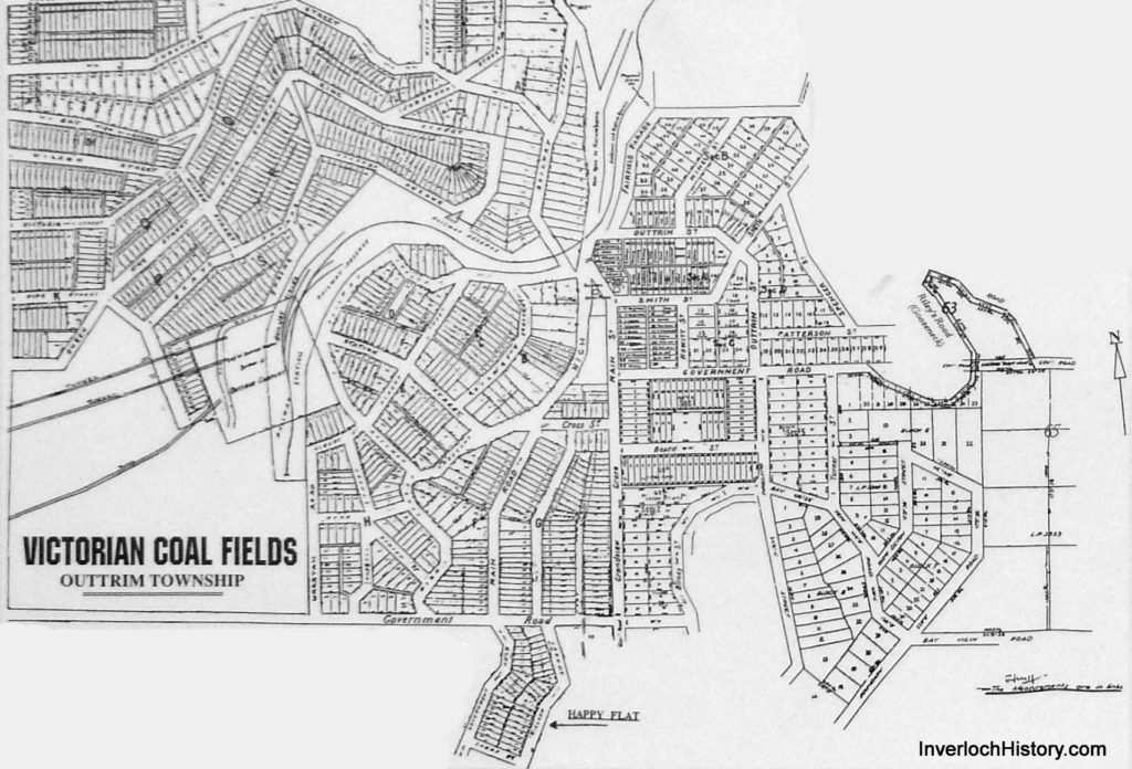
Assembled map of Outtrim as it was subdivided: c.1894-6
Clearly this was dawn up by speculators, who weren’t really fussed whether it was possible to erect houses on some of the blocks, or traverse some of the streets, which given the terrain in some spots, it wasn’t. The layout of the railway sidings is such that the long lead road shown would have either been in mid-air, or ran down into the gully. The final layout varied somewhat from this. (Complied by B.Sykes, Dec 1996. Not to scale.)
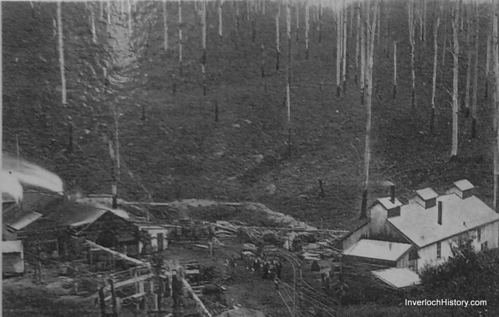
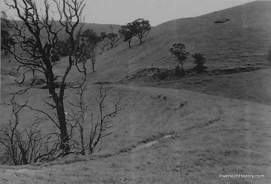
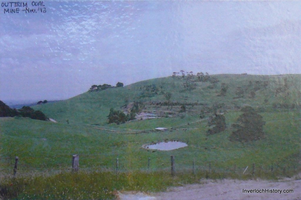
Above 1973 & below 1993: Shows the mine area, railway area & embankment. The scene is in marked contrast to the 1902 scenario, where man changed the face of the earth. Clear marks & tracks can be seen & followed, even in the 21st Century. An aerial photo would show the changes very clearly and always makes the archaeologists task all the easier with the
use of up to date & modern technology.
Location on Google Maps: